A version of this article was originally posted on WalkArlington.
Generally defined, wayfinding includes all the ways people orient themselves and navigate from place to place. The University of Michigan defines it as “spatial problem solving,” while The Society for Experiential Graphic Design states that it “refers to the information systems that guide people through a physical environment [to better] enhance their understanding and experience of the space.”
Probably the most universal example of wayfinding is when you’re out at a restaurant or at a sports arena and you need to use the restroom. How do you know where to go if you don’t stop to ask anyone? That’s right, you look for signs. And what are those signs? Bingo, wayfinding!

Why Is It Important?
In a world full of smartphones and hundreds of different apps to help you find your way, wayfinding may not feel as important as it once did – but that’s untrue for many reasons. Here are just a few:
- Everyone may not have a smartphone
- Sometimes smartphones run out of battery
- Your phone may not be easy to use while zooming down a trail on a bike
- You may not feel safe pulling out your phone in a certain scenario
Wayfinding gives you quick help in a pinch or just as you’re on your way.
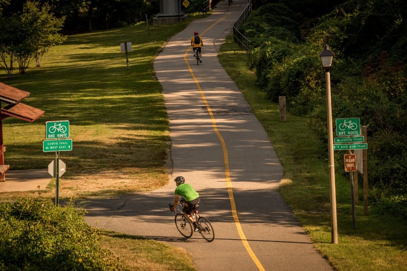
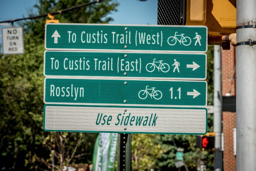
Examples of Wayfinding in Arlington
In Arlington County, wayfinding is an important amenity to our pedestrian and bike-friendly landscape. Wayfinding signs help pedestrians and people on bikes navigate Arlington's 100 miles of multi-use trails and routes. Without wayfinding, it can be hard for those using the trails to easily find their way.

Need Help?
If you're interested in bike commuting, but aren't sure where to start we'd suggest checking out map and route resources from BikeArlington. Still not sure on those map and wayfinding skills–ATP offers free custom commutes for those who live or work in Arlington. Let us know you need a bike route and we'll work to find the best route for you.
Photo Credit: Sam Kittner/Kittner.com for Arlington Transportation Partners


